


In the United States, the largest underground source, the Ogallala aquifer, is rapidly depleting, Newsweek reports. It is located across eight Great Plains states, from South Dakota to Texas, and contains about 30% of all water used to irrigate US farmland.
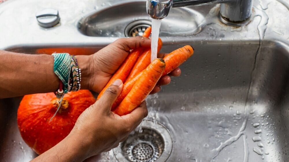
An aquifer, or aquifer, is an underground layer of permeable rock located beneath groundwater. The Ogallala Aquifer provides water for about a fifth of the country's agricultural production. The cultivation of corn, wheat, cotton, and livestock rely heavily on irrigation from water from this underground reservoir.
However, researchers warn that the volume of water withdrawn exceeds the rate of natural replenishment of groundwater. In many areas, the rate of soil moisture saturation is less than one inch (about 2.5 cm) per year, which is significantly less than the volumes that are pumped annually for irrigation. Since the middle of the last century, water levels in some parts of the aquifer have dropped by more than 200 feet (about 60 meters).
Climate change is expected to make the situation worse. Droughts and rising average temperatures are likely to increase demand for water while reducing supplies, the newspaper notes. Researchers estimate that in the coming decades, up to 40% of aquifer may become unsuitable for use in agriculture.
If the Great Plains faces water shortages, farmers will have to switch to less water-intensive crops or abandon production in certain areas altogether.
The consequences could extend far beyond the Great Plains—declining crop yields could lead to higher food prices. For example, much of the corn grown in the region is used to feed livestock, so production problems could affect the cost of meat, dairy and other items at grocery stores across the country.
“Irrigation typically serves as a buffer to prevent catastrophic crop losses. If this resource disappears, the effects of droughts will be felt much more severely, and the likelihood of sharp price increases from year to year will increase significantly,” Chris Bowden, a research fellow at the University of Manchester in the UK who studies water management, told Newsweek.
According to him, one of the main problems remains weak control over the use of groundwater. Even where there are restrictions on water withdrawals, local authorities often do not have accurate data on actual water consumption by farms.
“One of the main difficulties is that we do not have accurate data on how much water is actually used. Even where restrictions and regulations exist, without transparent monitoring it is extremely difficult to ensure compliance,” said Bowden.
Experts say improved monitoring will play a key role in solving the problem. Modern satellites are already capable of updating images of agricultural land every few days, and machine learning models can estimate irrigation volumes over large areas.